Interactive Map Table at the Sigal Museum
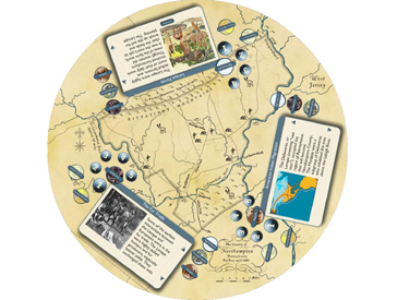
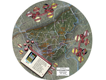
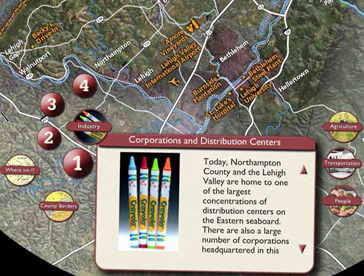
Visitors explore the history of Northampton County, Pennsylvania by interacting with a series of maps projected on an approximately 6-foot diameter round table. The GestureTek table allows multiple visitors to access different content simultaneously. The table cycles through maps from five different eras including Pre-Penn, Colonial, Republic, Industrial and Present Day. Visitors can read stories and view images from categories like Agriculture, Industry, People and Transportation. A locate feature highlights areas on the map related to the story.
The Interactive Map Table also includes a special mode where teachers can select the maps and stories in order to discuss specific lessons with students.
NETG created all the interactive software for this exhibit.


